The East Riding Waterlands walk – tested on 28 December 2018 – about 3 miles there and back. Is it Stoney Creek or Stone Creek? The OS Map says “Stone” but the cognoscenti seem to use “Stoney”.
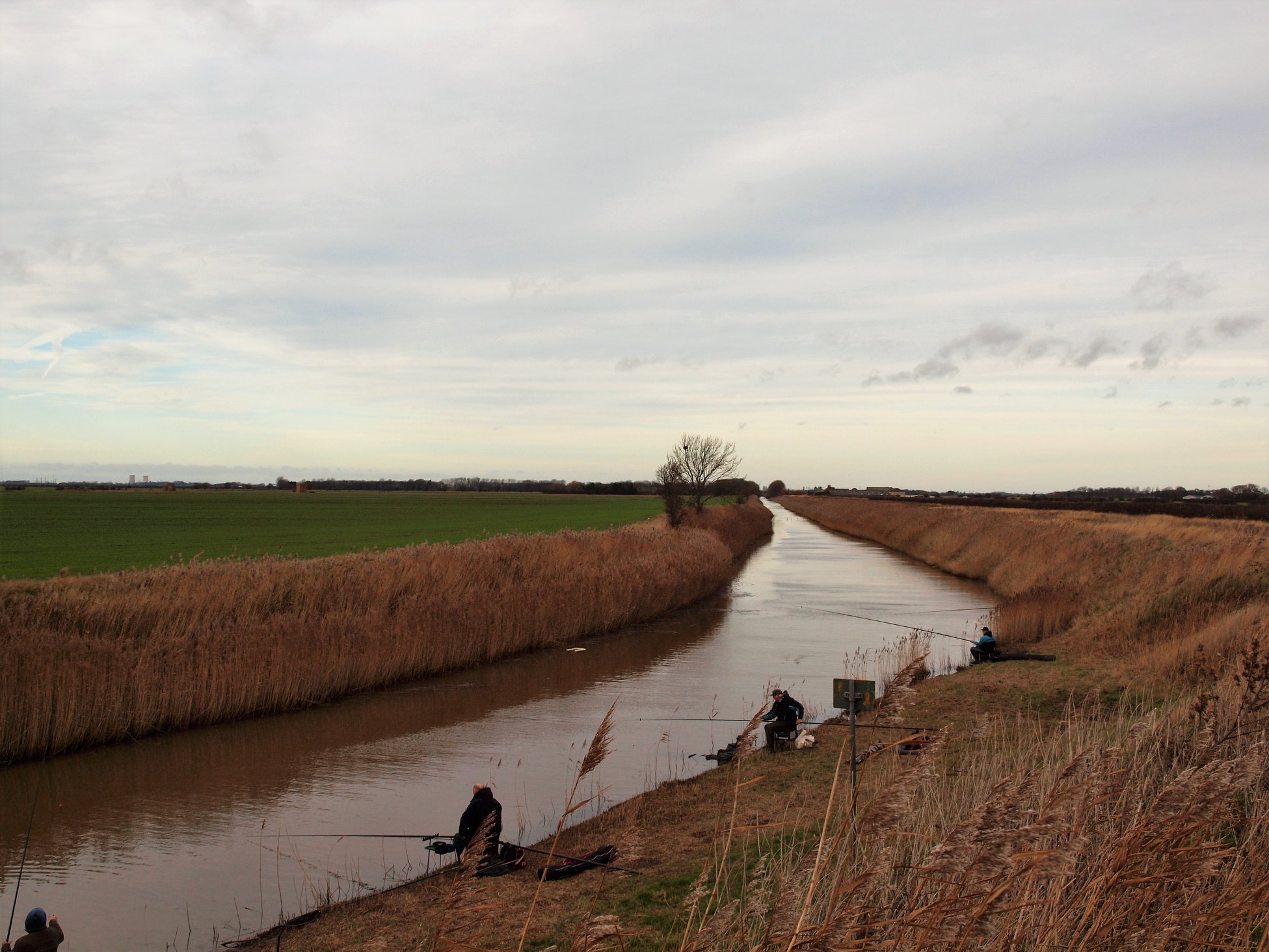
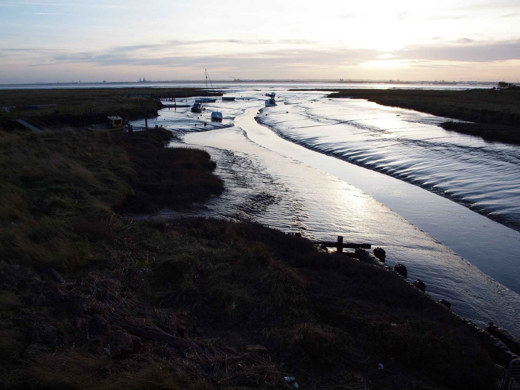
We took the car south from Ottringham about 5 miles, although there is also a long route along narrow roads from Thorngumbald. Both will take you through the mysterious Sunk Island landscape to Stoney Creek, the confluence of Keyingham Drain and Ottringham Drain, which opens out into the Humber, around 6 miles east of Paull. There is an easy car park at Stoney Creek.
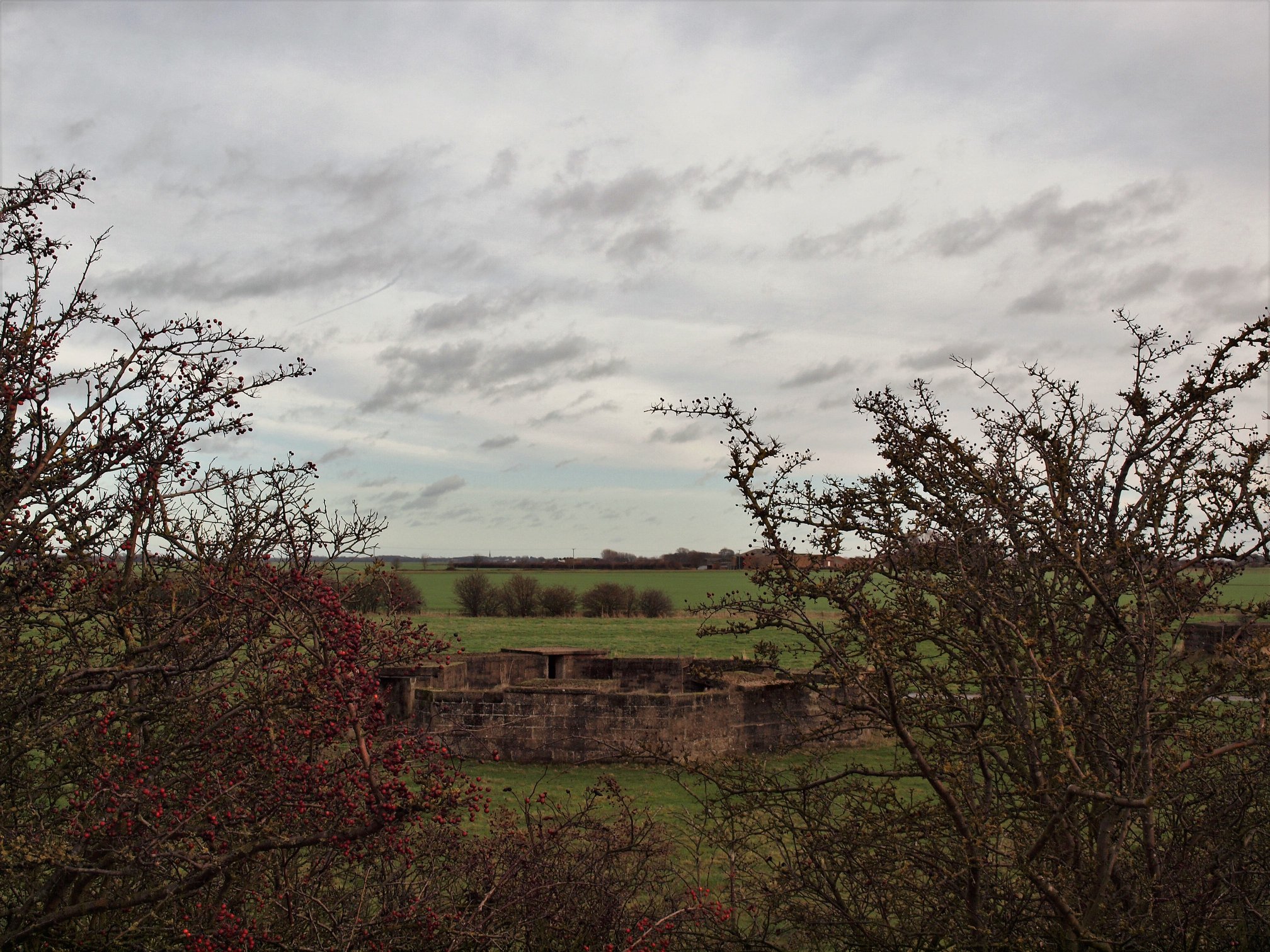
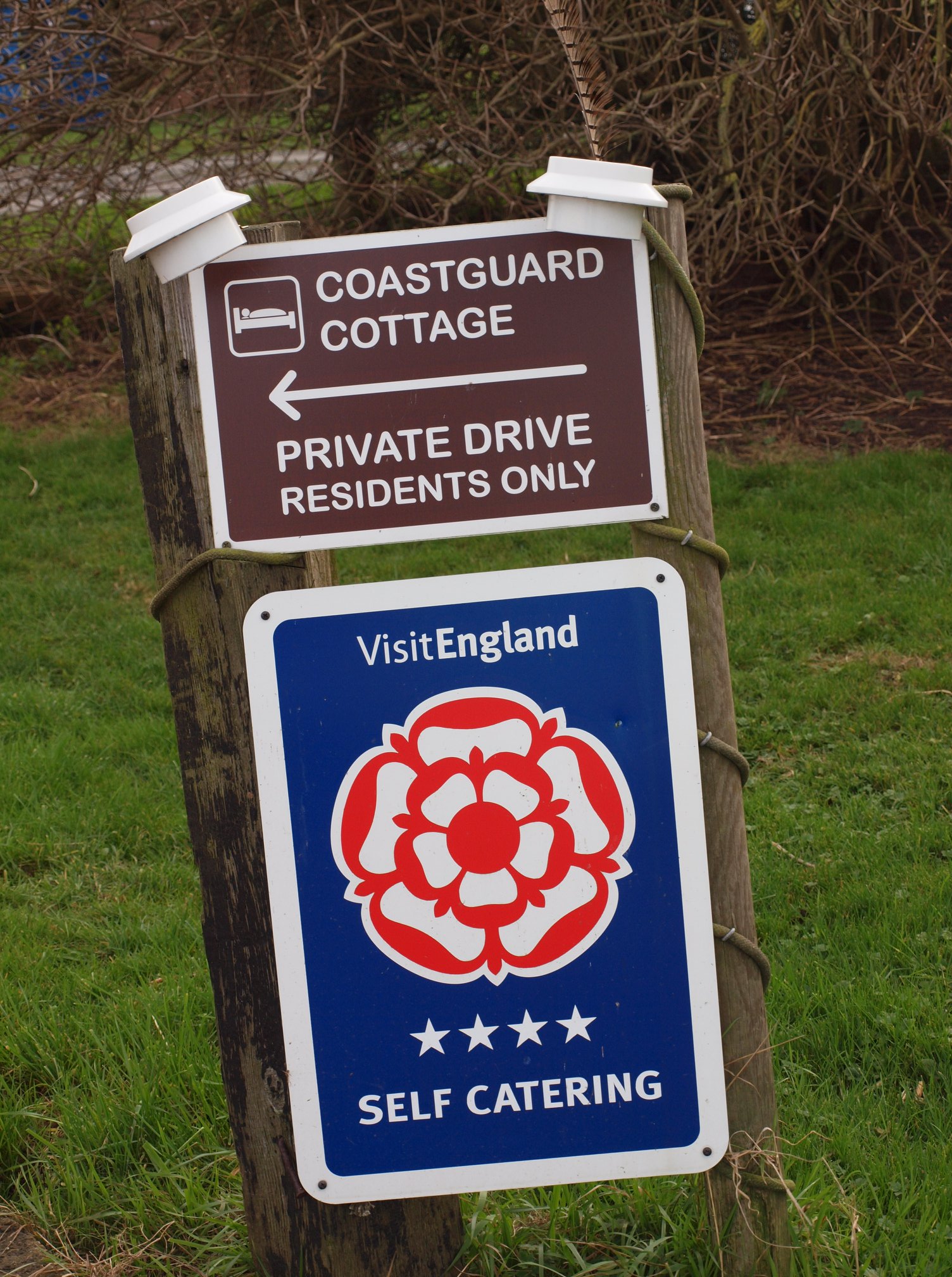
At the end of the Coastguard Cottages at Stoney Creek there is a holiday cottage to rent. You can also see the remains of a very well-labelled Second World War Gun Battery. Where the creek opens it forms a harbour for a few small boats. By walking east from there, you get a panoramic view of the battery. We walked about three miles to the east and looked over the Humber Estuary to shipping, refineries, Immingham Docks and the Grimsby Dock Tower.